About Us
Specialists in Coastal and MetOcean Data
From EIAs to marine studies, we help you meet regulatory, technical and environmental standards.
Who We Are
Based in Sabah, we support infrastructure and environmental planning through data-driven insights in hydrographic surveys, hydraulic modelling, and coastal analysis.
We know the challenges. We’ve seen the changes. And we’re committed to doing the work that matters.
At WAIG, we deliver more than just data. With decades of local field experience and deep technical expertise, we provide reliable, site-specific insights that support informed decisions for developments that last, and policies that protect.
Our team is built on consistency, accuracy, and a clear understanding of the unique coastal and marine environments we work in.
Hydraulic and Hydrographic projects delivered
years supporting sustainable coastal development in Sabah
major EIA collaborations with local and federal agencies
Sabah-based operations with regional expertise
Our Vision
To support sustainable development through accurate, reliable, and locally grounded environmental data.
We envision a future where every coastal and infrastructure project in Sabah is guided by precision, informed by science, and aligned with environmental stewardship.
Our Solutions
We provide data-driven support for a wide range of environmental and coastal projects across Sabah, helping clients meet technical, regulatory, and sustainability goals. Our services include:

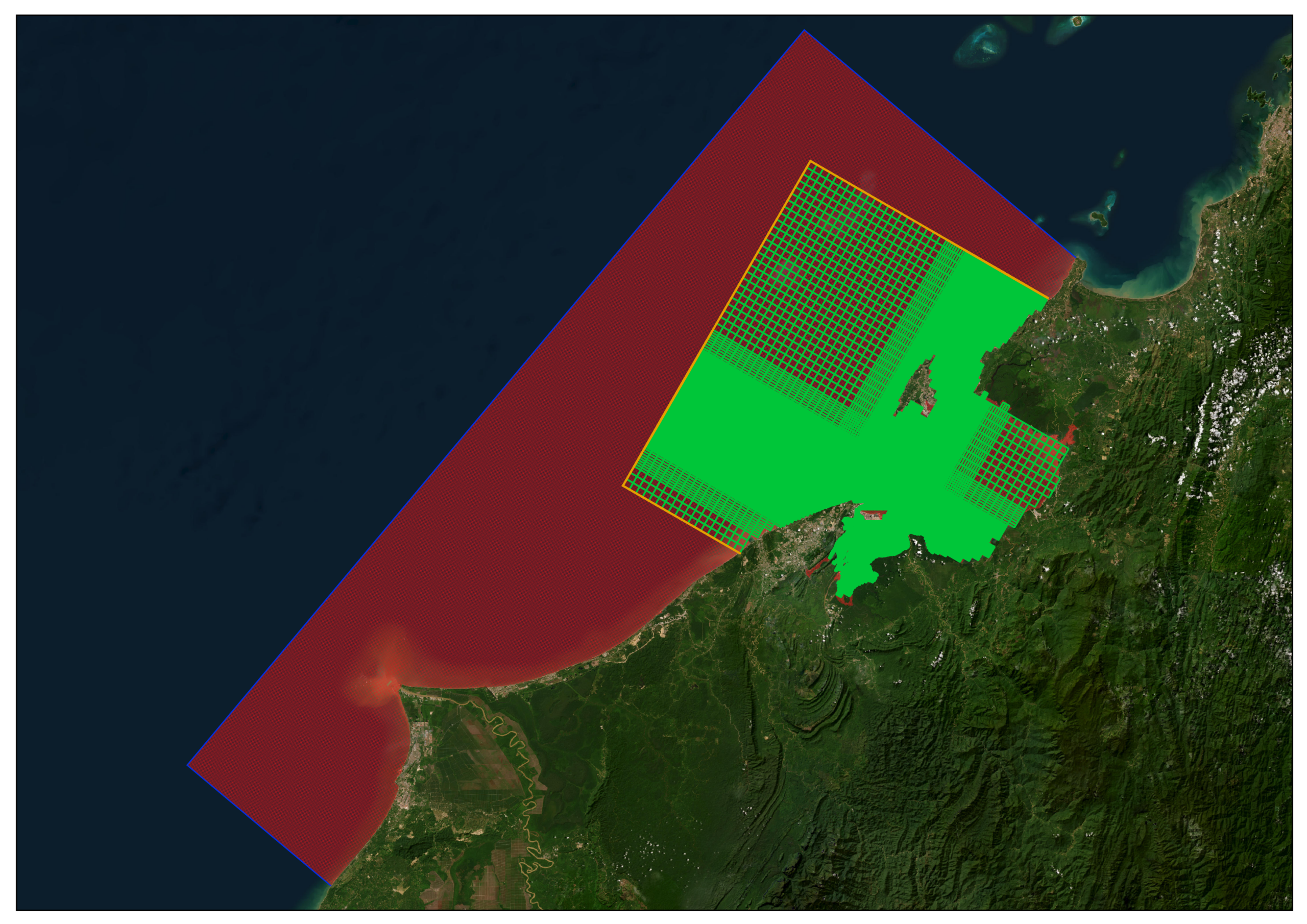
We provide reliable computer modelling solutions for coastal and water environments, combining advanced simulation tools, environmental data, and scientific expertise to support sustainable development and resilient infrastructure planning.
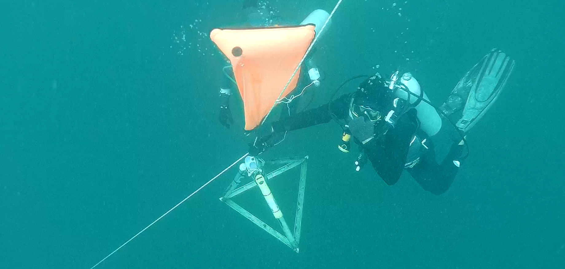
We deliver reliable marine site survey services through accurate field measurements, advanced survey technology, and technical expertise to support marine construction, coastal studies, environmental assessments, and offshore development projects.
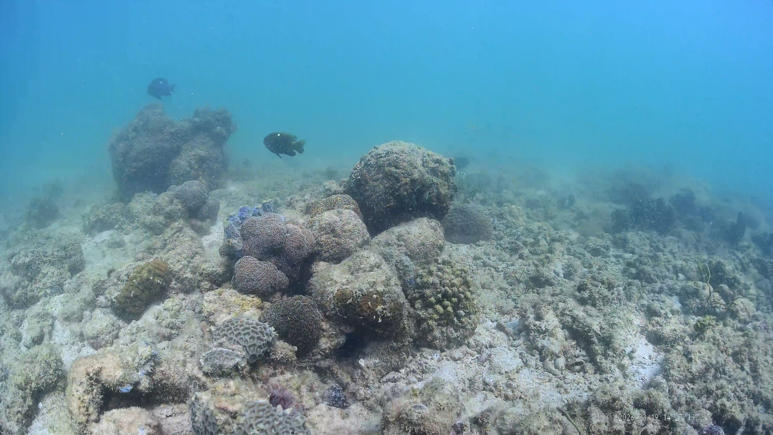
We use global computer models and satellite data to analyse ocean and weather conditions for coastal projects which helps in providing reliable data. With the combinations of long-term computer predictions and real-world satellite pictures, we can accurately map out local winds, waves, and water movements.
Experienced Specialists
WAIG brings together a multi-disciplinary team of engineers, scientists, surveyors, and data analysts, each with hands-on experience delivering complex projects across sectors. Whether we’re in the field or building high-resolution models behind the scenes, our team shares one common goal to provide clear, reliable, and actionable solutions.